Geometrics data and management
MSG Cartographer is an easy to use and powerful web-based tool that centralizes all your geometry and associated meta data in one fast database.
MSG Cartographer is an easy to use and powerful web-based tool that centralizes all your geometry and associated meta data in one fast database. Subscribers to MSG Cartographer obtain a secure private space in the cloud to upload and store these enriched geometries of interest. By choice, this data can be shared and exchanged with colleagues within the same organization or with other maritime communities.
As the Made Smart product integration is seamless over all the subscriptions, the geometry entered in MSG Cartographer can be used for example to view project outlines, ECA or PSSA zones in Tracker and Plotter, etc. The same geometries can be used for calculations in for example MSG Navigator. For example, what distance was sailed in a certain ECA zone. In MSG Spotter one can create a watch list to generate a notification when a vessel enters/leaves a certain area.
Your organization can gain tremendous efficiency by sharing the created geometries. Once geometry has been published, other users can easily subscribe to this geometry. You keep full control. Made Smart keeps a library with global maritime key zones up to date.
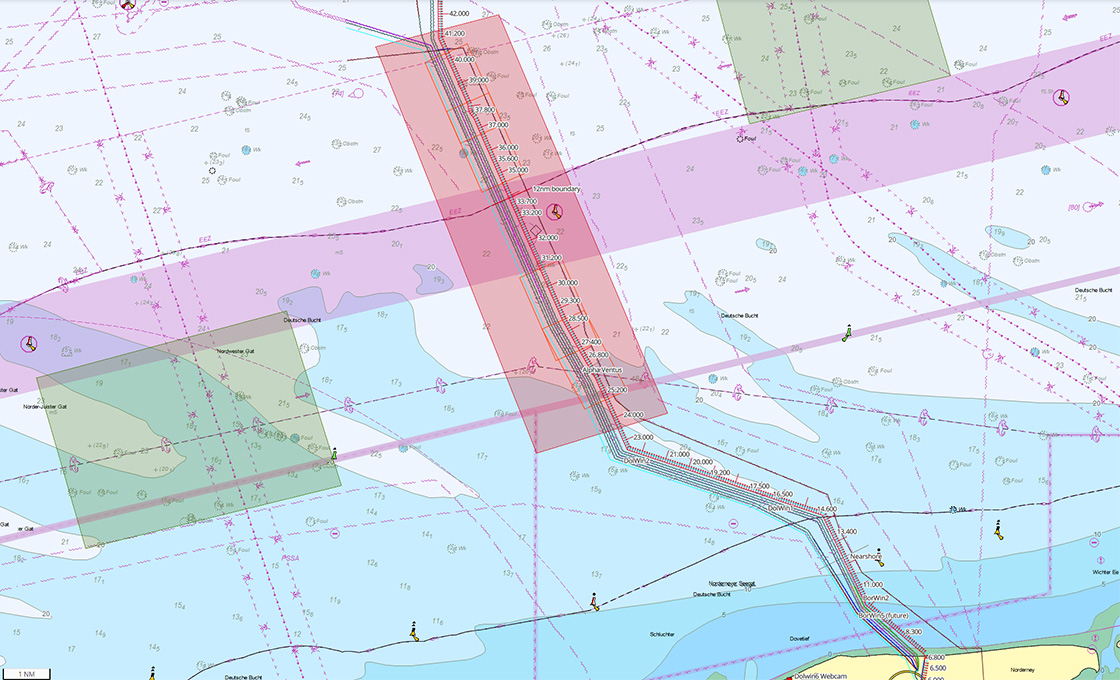
MSG Cartographer supports the multiple types of geometry, including circle, point, line, polygon, multi point, multi line and multi polygons.
MSG Cartographer allows you to add meta data for each geometry including URL references.
In addition MSG Cartographer has specialized add-on to integrate your GIS data in 2D and or 3D view. Such integration provides for easy access within your organization to these key visualized information layers.